INTRODUCING THE FUTURE OF FARM PLANNING
Our software is transforming the way data is visualised and decisions are made - in the paddock and beyond. It is continuously evolving to meet the needs of modern agriculture.
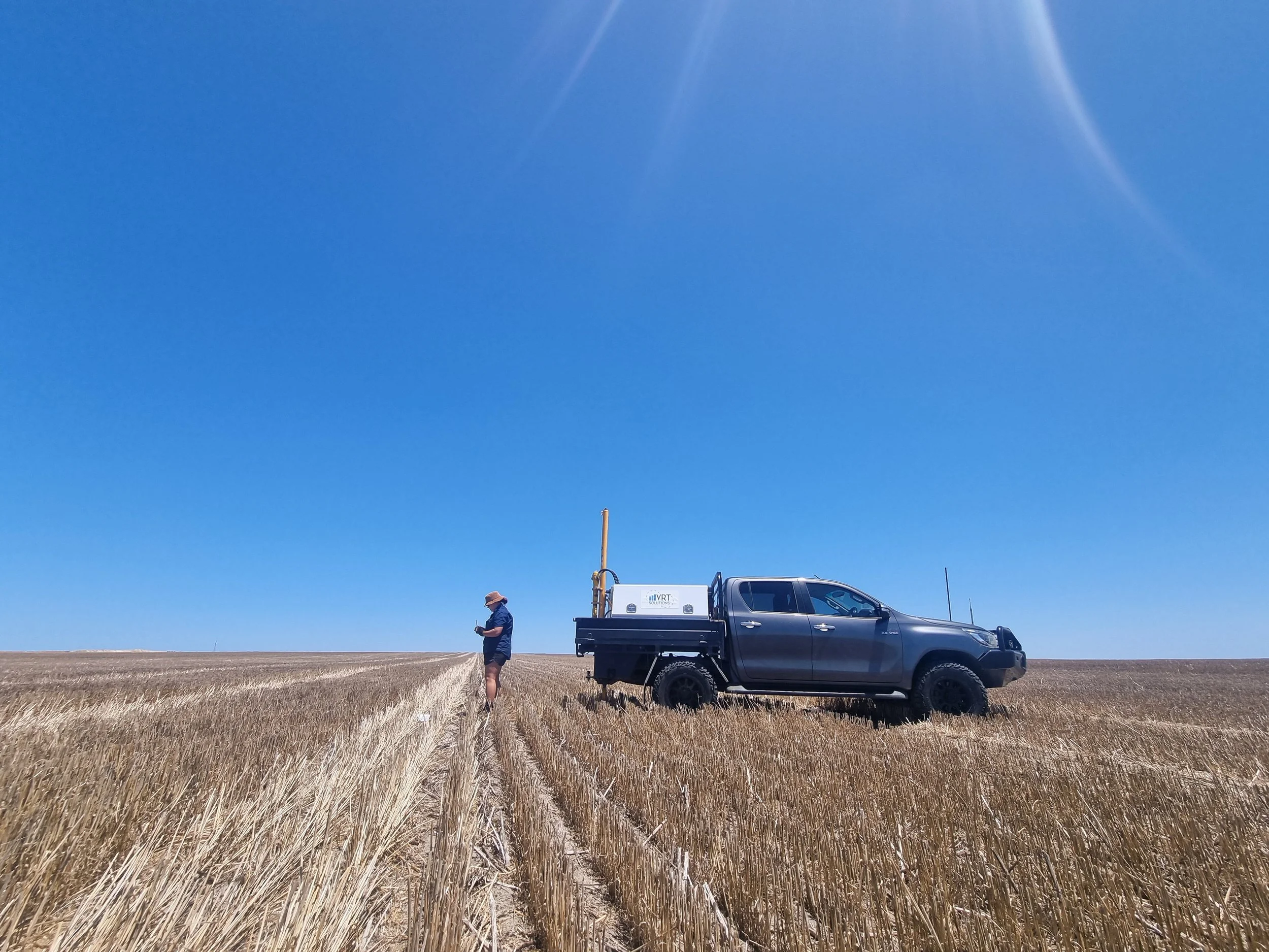
Built from the ground up by the VRT team, our software brings everything together – maps, sampling data, elevation models, zone management, and more.
Whether you’ve worked with us before or are sitting on unused data, we’ll help you make sense of it – and use it.
Stay in the Loop!
Be the first to know about new updates.
Still looking for more information?
Send us your details and we will be in contact!